Archive
Geology on the Western Front
Another topic on geology; this time lack of geological appreciation during WW1.
The Germans took the initiative in utilising geology to influence planning, but this was not until 1915, despite the efforts of Walter Kranz, a German fortification engineer. Through his efforts, by the end of the war 250 geologists were trained and placed in the front line directly supporting troops. The problem was their low position in the chain of command.
The British did not appoint their first geologist until it was identified that there was a need for clean drinking water. Lt King, originally serving with the Royal Welsh Fusiliers, was placed in the British General HQ. The advantage of this was his advice was heard at the highest level and he could influence strategic planning. But military geology was not taken seriously until mining became important and then the most senior geologist became Major Edgeworth David, Professor of Geology at Sydney University. By the end of the war, there would be 5 geologists in the HQ.
The biggest contribution the geologists made was to the mining. The biggest success being the attack on Messines Ridge, where 19 mines were exploded on 7 June. This contributed to a significant advance of the allied front line. The reason for the success was tunnelling expertise and the Blue Clay that the British sat upon. Whilst the clay produced significant issues with ground water in the British Sector, impacting on above ground mobility, it enabled the British to dig deeper than the Germans who sat on sand fed by an underground aquifer; the Kemmel sands. This provided many challenges to their mining.
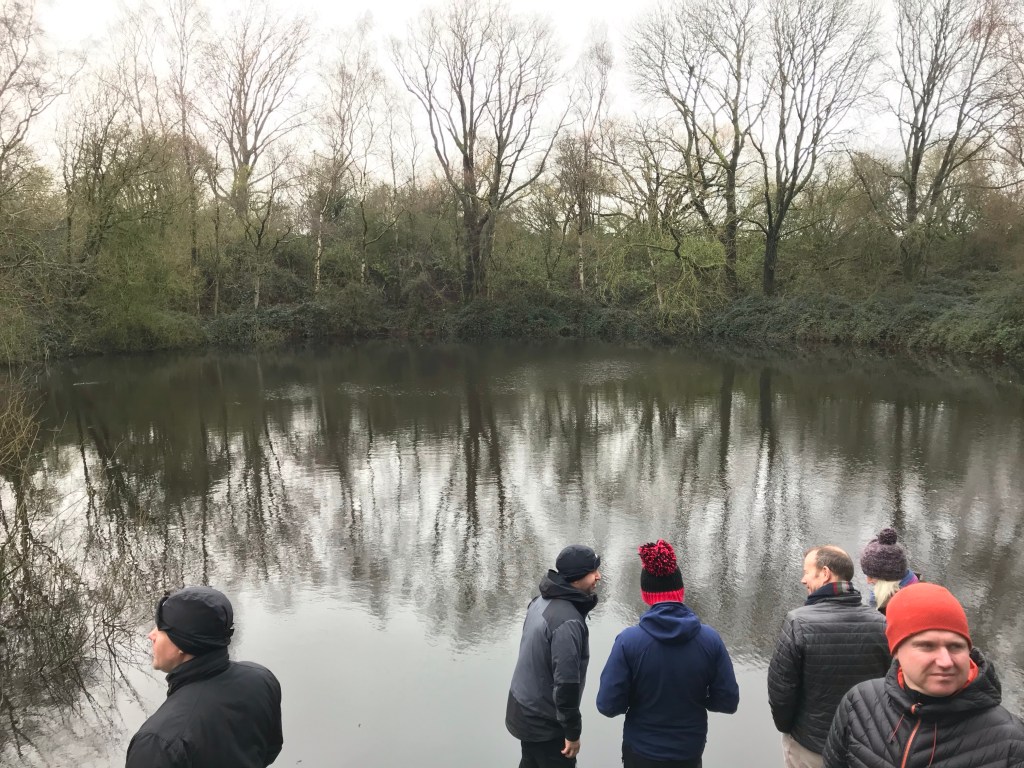
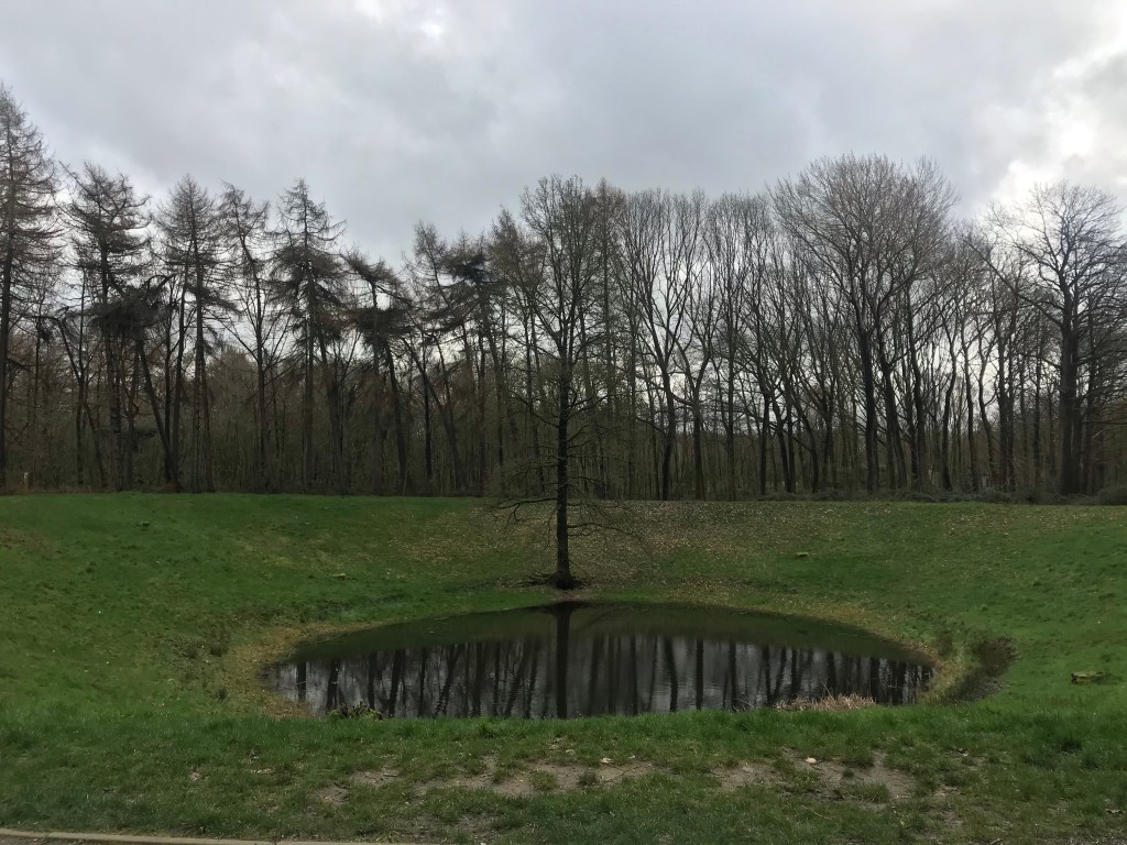
The devastation caused by the mines is best shown in the pictures below; mines at spanbrokmolen (pool of peace) and Caterpillar crater.
The success of the mines would not have been achieved without geological understanding. Geology also had a part to play in water supply, drainage and resources. Plenty to consider next time you listen or contribute to a ground brief; think underground as well as above ground.
Infrastructure Advice
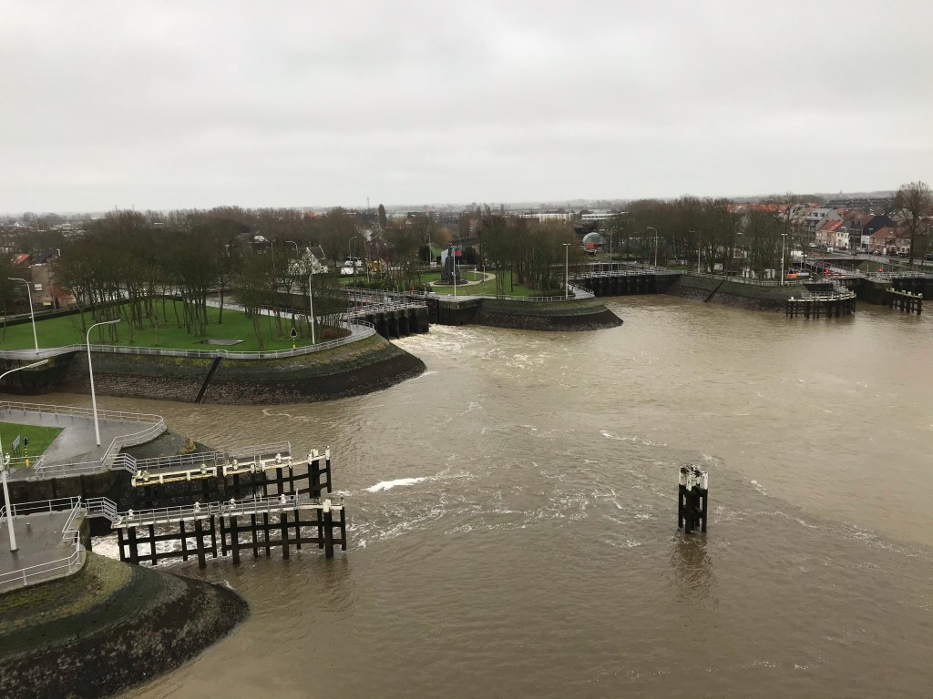
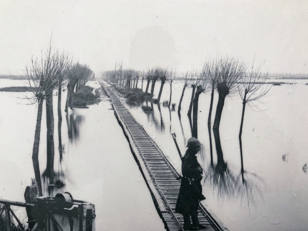
PEW are currently on a WW1 Battlefield Tour, focusing on the area around Ypres. The first stop today was to Nieuweeport, on the Belgian Coast. It was from here that the German advance through Belgium was halted through infrastructure.
The area between Nieuweeport and Ypres is known as the Polder Plain. An area of ground that sits between the sand dunes on the coast and the clay ground around Ypres. In the 17th century the land was artificially drained by the Flemish Engineer Wenceslas Coberghar to enable the land to be farmed. The result is a complex irrigation system which feeds into the River Yser.
During the initial stages of the war, with a Belgium under threat of total German control, King Albert of Belgium made the decision to inundate the Polder plain with sea water. This was done in a controlled fashion over a number of nights. Advice was given by the Belgian engineers who ran the irrigation system; they also oversaw the execution.
The result was that the Germans were halted which assisted the British in the defence of Ypres.
Designing with sub standard materials
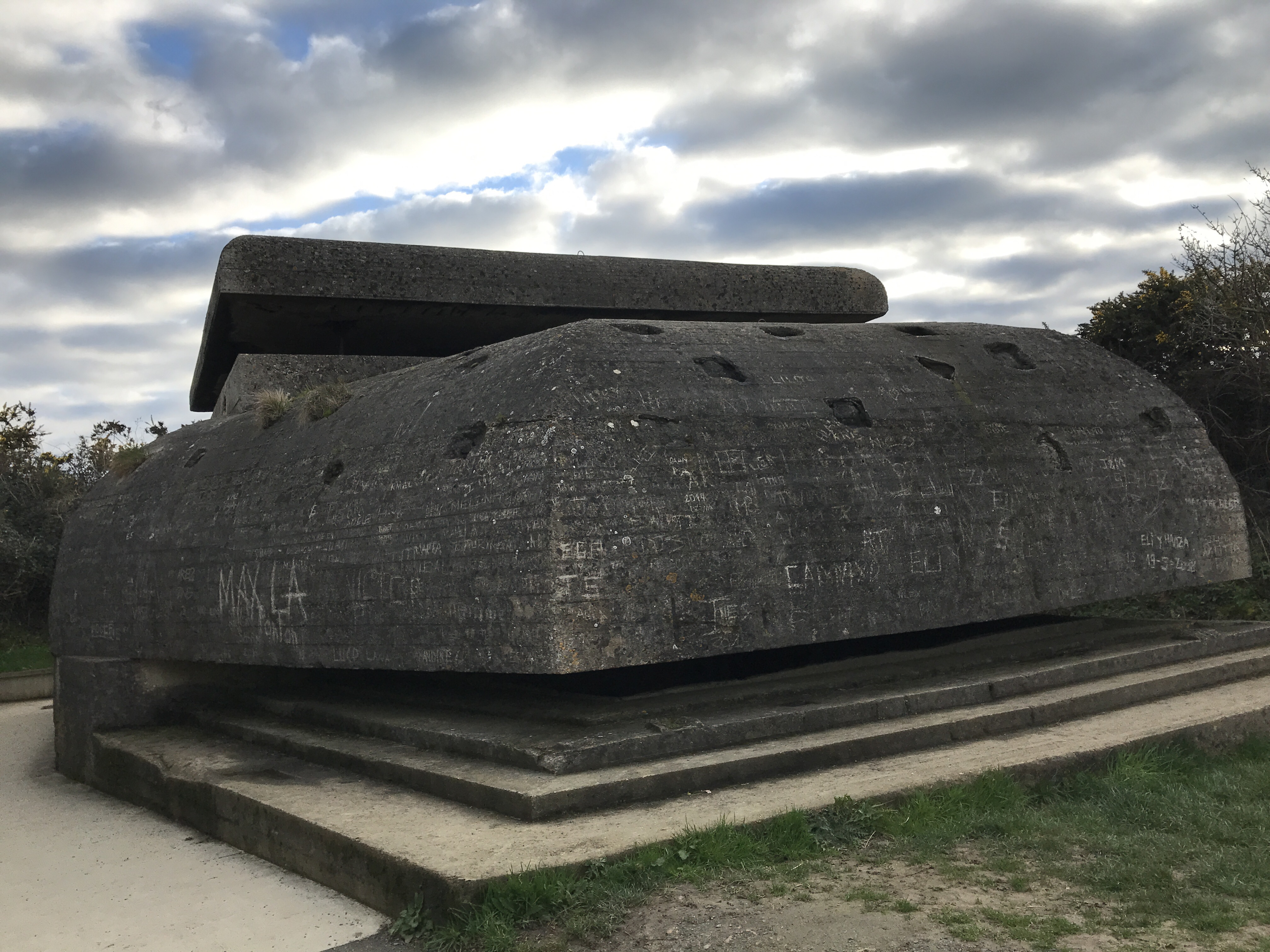
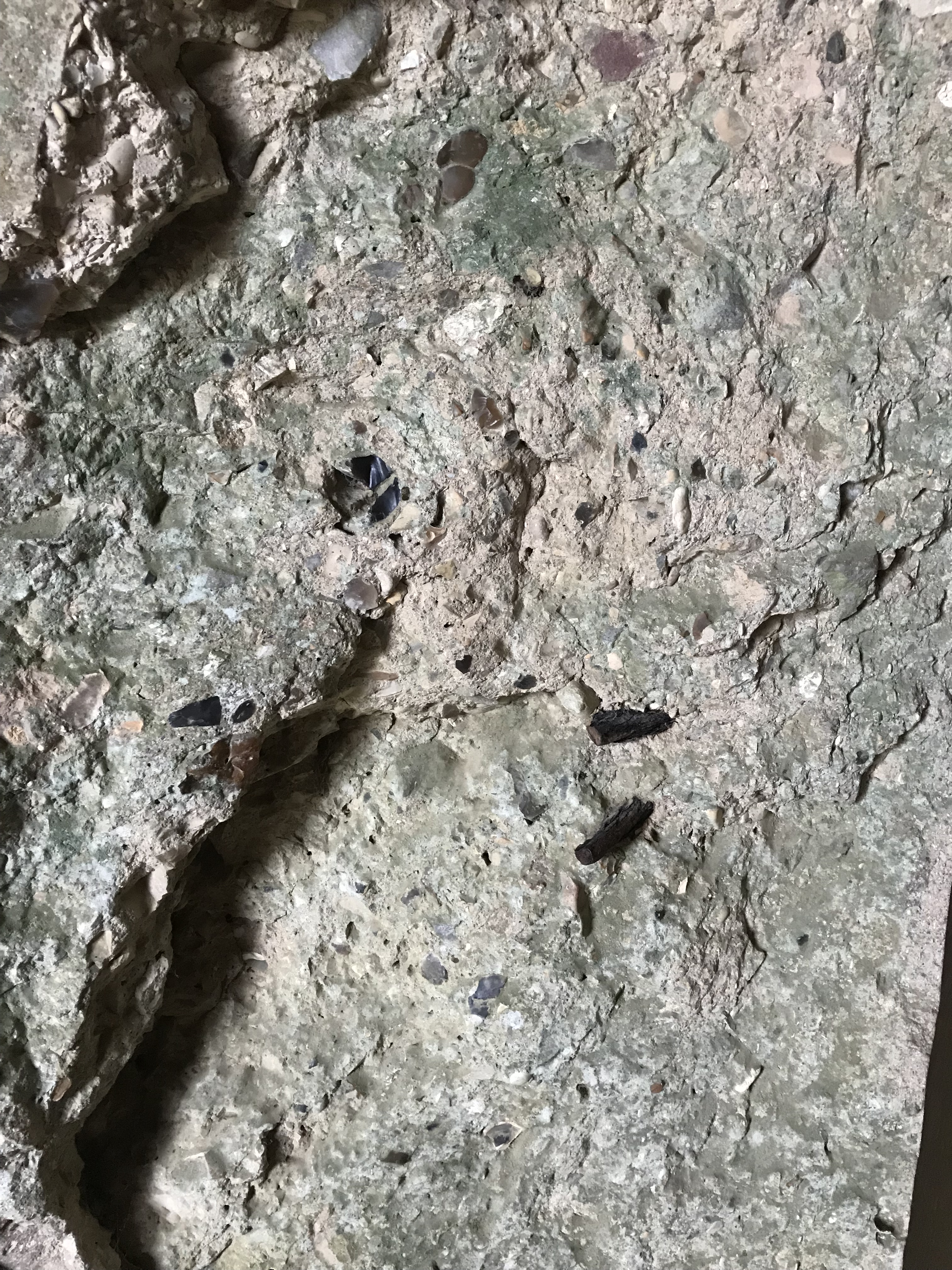
During the PEW Battlefield Study in Normandy, we came across gun positions that formed part of the Atlantic Wall. Steel was in short supply and aggregate for concrete was poor. Despite this, these structures were built, survived intense bombardment and remain 75 yrs later.