Archive
Geology on the Western Front
Another topic on geology; this time lack of geological appreciation during WW1.
The Germans took the initiative in utilising geology to influence planning, but this was not until 1915, despite the efforts of Walter Kranz, a German fortification engineer. Through his efforts, by the end of the war 250 geologists were trained and placed in the front line directly supporting troops. The problem was their low position in the chain of command.
The British did not appoint their first geologist until it was identified that there was a need for clean drinking water. Lt King, originally serving with the Royal Welsh Fusiliers, was placed in the British General HQ. The advantage of this was his advice was heard at the highest level and he could influence strategic planning. But military geology was not taken seriously until mining became important and then the most senior geologist became Major Edgeworth David, Professor of Geology at Sydney University. By the end of the war, there would be 5 geologists in the HQ.
The biggest contribution the geologists made was to the mining. The biggest success being the attack on Messines Ridge, where 19 mines were exploded on 7 June. This contributed to a significant advance of the allied front line. The reason for the success was tunnelling expertise and the Blue Clay that the British sat upon. Whilst the clay produced significant issues with ground water in the British Sector, impacting on above ground mobility, it enabled the British to dig deeper than the Germans who sat on sand fed by an underground aquifer; the Kemmel sands. This provided many challenges to their mining.
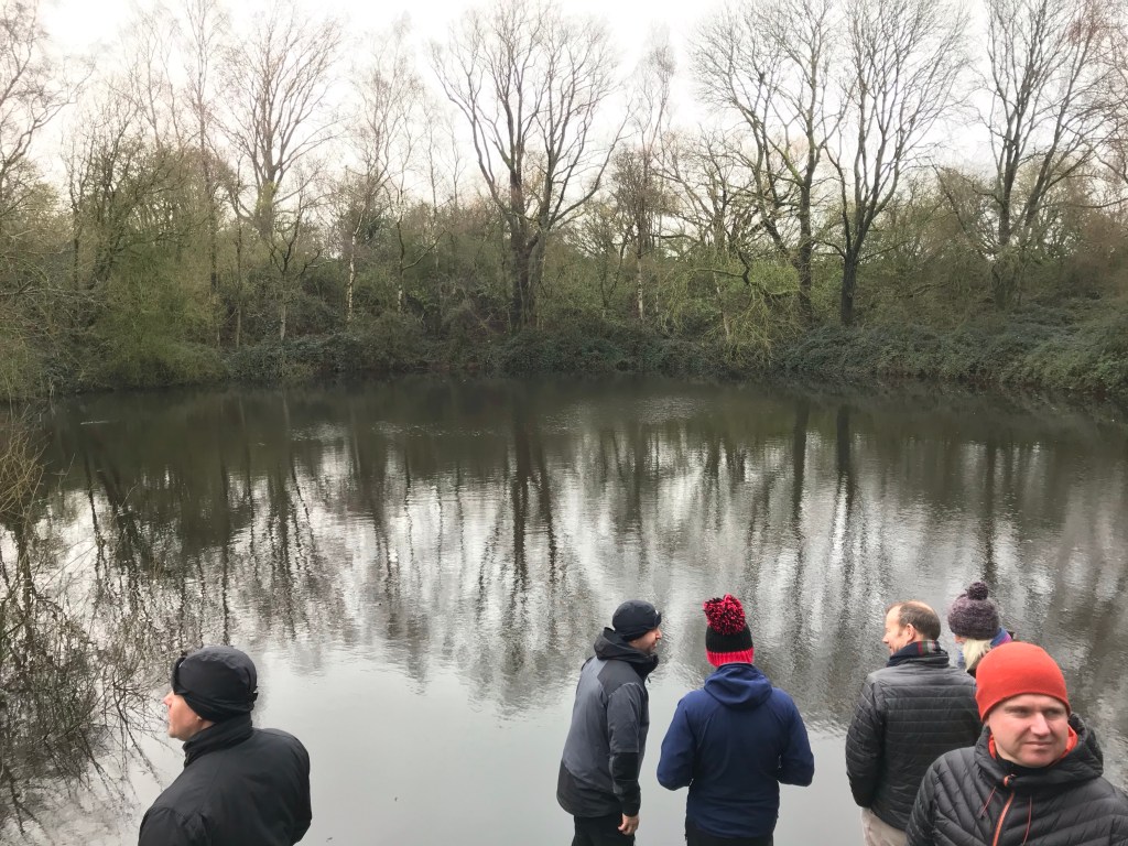
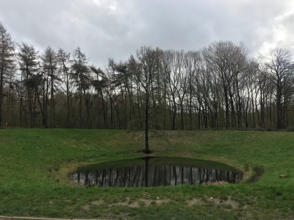
The devastation caused by the mines is best shown in the pictures below; mines at spanbrokmolen (pool of peace) and Caterpillar crater.
The success of the mines would not have been achieved without geological understanding. Geology also had a part to play in water supply, drainage and resources. Plenty to consider next time you listen or contribute to a ground brief; think underground as well as above ground.
What is 3D geology modelling?
Aurecon regularly put on ‘Lunch & Learn’ sessions for their engineers. This is a great opportunity to here from other areas of engineering and hear about some cool engineering technologies being used across the company – yes, I used the words ‘cool’ and ‘engineering’.
Recently, an engineer from the geotechnical team delivered an interesting presentation on 3D geology modelling and it’s use on large infrastructure projects. As I am working in the bridge design team, I decided to go along and get some time away from superstructure ‘stuff’.
3D geological modelling is a key ground engineering technique, which is increasingly being utilized on large and medium sized projects, particularly for large linear infrastructure projects (think tunnelling and mining). Over the past two years, Aurecon has aligned to the use of the software ‘Leapfrog Works’, although a range of software applications exist. This was of interest to me, as I know it was used for the West Gate Tunnel Project (WGTP).
3D geology modelling is transforming the way ground engineering data is acquired, analysed, and communicated. Some of the key advantages are:
- Improved ability to compile large ground information datasets, which in turn improves the way you can capture and communicate geological complexity;
- Enhanced data visualisation, which aids with interpretation of ground risks and improves our ability to detect problems with input data or with the ground model;
- 3D geology modelling is visually engaging, which can enhance client or stakeholder presentations;
- Improved process efficiency and semi-automated section production;
- Dynamic integration with centralised ground investigation databases, allowing for rapid propagation of changes and revisions
- A centralised, online environment, that enables improved collaboration on modelling projects and allows for tracking of changes and improved model QA.
On the WGTP, 3D geology modelling (using Leapfrog) was used for the 6km of tunnels and supporting road upgrades to determine spoil volume, of which the Leapfrog model anticipated to be over 2 million cubic metres; this included earth and rock spoil material. This ability offers clear advantage for tendering purposes; how many spoil trucks will I need, etc.
In addition to this, it was also used to: highlight risks at the portals, model aquifer units used in hydrogeological impact studies, generate 2D sections for geotechnical ground movement modelling and was key for communicating risks/design to the client.
However, GROUND IS RISK!!!!!! (as a pen flies across the room towards Mr. Dale)
Like anything within the dark art of ground engineering, there is some considerable risk involved. 3D geology models do not just ‘magically’ understand everything about the ground and, like any software, require information input. Models are generally built from borehole data, ground investigations, etc. Therefore, most of the model will be based on interpolation and assumptions of ground conditions based off the data available.
Ultimately, clear communication of uncertainty remains a major risk, and the importance of good geological expertise is paramount when using 3D geological modelling. But the process and softwares available clearly offer a powerful tool for modelling and understanding the potential risks.
